

A recent study has revealed the existence of 37 subglacial lakes beneath glaciers in the Arctic region of Canada, with 35 of them being previously undiscovered. This discovery sheds light on a concealed water system that could enhance scientists’ understanding of glacier movement and ice loss.
Understanding the locations of these lakes and their filling and draining processes can provide valuable insights into the rate of glacier melting and subsequent sea level rise. These subglacial lakes create a complex interconnected network of water bodies flowing beneath the ice, a phenomenon that was largely unknown until now.
The newly identified lakes are predominantly small in size, ranging from 0.3 to 15 square kilometers, and they gradually fill up over several years. However, the drainage process can occur swiftly, sometimes within just a year or a few months, causing significant surface elevation changes in glaciers.
Wesley Van Wychen, an associate professor at the University of Waterloo and co-author of the study, highlighted that in some instances, the rapid drainage of a subglacial lake led to a glacier’s surface dropping by over 100 meters in a matter of months. The source of water that fills these lakes remains uncertain, but it is speculated to originate from the glacier surface as meltwater seeps through crevices and channels in the ice, eventually accumulating in the subglacial lakes.
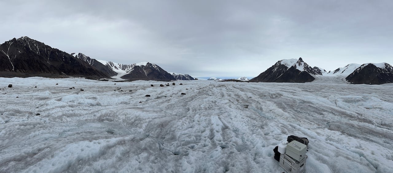
Van Wychen emphasized the importance of understanding whether these lakes will fill and drain more frequently as temperatures rise in the Canadian Arctic. This knowledge is crucial for anticipating potential changes in the region.
The accelerating pace of glacier melt in the Arctic due to climate change has raised concerns about the impact of water flowing through subglacial networks into the ocean, which could contribute to rising sea levels.
Benefits for Glacier Science
Van Wychen, known for his research utilizing remote sensing techniques to analyze glaciers, collaborated with researchers from Taiwan, Japan, and the U.K. for this study.
The study relied on data sourced from ArcticDEM, a project hosted by the University of Minnesota that offers high-resolution imagery of the Arctic region, enabling detailed investigations into glacier transformations.
By analyzing changes in glacier surface elevation using this data, the researchers could deduce the presence of subglacial lakes and monitor their draining and refilling patterns.
-
As Arctic warms, Canada’s glaciers playing major role in sea level rise
-
Western Canada glaciers suffered 2nd-greatest ice loss on record in 2025
Shawn Marshall, a research scientist at Environment and Climate Change Canada not involved